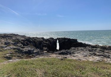
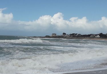
Tocht Stappen Le Croisic - Le Croisic - Photo
 jylera
jylera

Gebruiker

© OpenStreetMap contributors
Lengte
Lengte
9,8 km
Max. hoogte
Max. hoogte
15 m
Positief hoogteverschil
60 m
Km-Effort
Km-Effort  
10,6 km
Min. hoogte
Min. hoogte
-1 m
Negatief hoogteverschil
61 m
Boucle
Boucle
Ja
Datum van aanmaak :
2014-12-10 00:00:00.0
Laatste wijziging :
2014-12-10 00:00:00.0

(1 Bericht)

Stappen
Stappen
2h42
Moeilijkheid : Gemakkelijk

Scan deze QR-code om de tocht te openen in de SityTrail-applicatie

Gratisgps-wandelapplicatie

Logo SityTrail SityTrail

IGN / Geografische instituten

SityTrail uit de App Store downloaden SityTrail uit Google Play downloaden

Logo SityTrail SityTrail World

De wereld gaat voor u open

SityTrail uit de App Store downloaden SityTrail uit Google Play downloaden SityTrail op Huawei AppGallery downloaden

Over ons

Tocht Stappen van 9,8 km beschikbaar op Pays de la Loire, Loire-Atlantique, Le Croisic. Deze tocht wordt voorgesteld door jylera.

Beschrijving

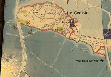
tour de la pointe

Hoogteprofiel

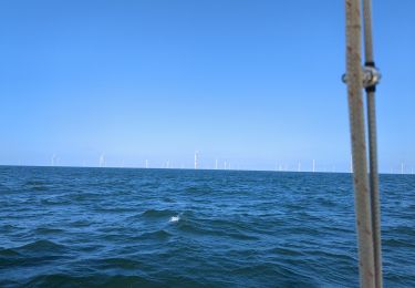
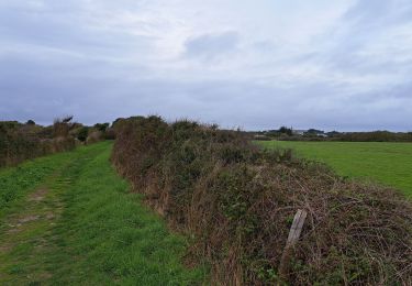
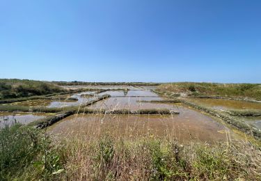
Foto's

POI's

POI Le Croisic - Canot de sauvetage - Photo
jylera
LE CROISIC 
POI Le Croisic - Alignement  - Photo
jylera
LE CROISIC 
POI Le Croisic - Hervé Rielle - Photo
jylera
LE CROISIC 
POI Le Croisic - Crèperie - Photo
jylera
LE CROISIC 
POI Le Croisic - Mairie - Photo
jylera
LE CROISIC 
POI Le Croisic - La criée - Photo
jylera
LE CROISIC 
POI Le Croisic - Monument historique - Photo
jylera
POI Le Croisic - Minorquin - Photo
jylera
LE CROISIC 
POI Le Croisic - Plage - Photo
jylera
LE CROISIC 
POI Le Croisic - Mont Esprit - Photo
jylera
LE CROISIC 

Plaatsbepaling

Land:
France
Regio :
Pays de la Loire
Departement/Provincie :
Loire-Atlantique
Gemeente :
Le Croisic
Locatie:
Unknown
Vertrek:(Dec)
Vertrek:(UTM)
537252 ; 5237493 (30T) N.

Opmerkingen

Gelieve in te loggen om een commentaar of een beoordeling achter te laten


Superbe, praticable par tout temps, sauf forte tempête, peu de dénivelé . Très bonnes crêperies pour faire la pose. Départ à la gare sncf, accessible en TER ou TGV.


Wandeltochten in de omgeving

Tocht Stappen Le Croisic - Le Croisic _ Le tour de Côte_ 9,6km - Photo
Stappen
Pousscailleux

Stappen

Gemakkelijk
(1)
Le Croisic, Pays de la Loire, Loire-Atlantique, France
9,6 km | 10,3 km-effort
2h 19min
Ja
Tocht Stappen Le Croisic - croisic - Photo
Stappen
arnaudconde

Stappen

Gemakkelijk
(1)
Le Croisic, Pays de la Loire, Loire-Atlantique, France
11,5 km | 12,3 km-effort
2h 45min
Neen
Tocht Zeilboot  - Ile d'Yeu mouillage  - Photo
Zeilboot
Jean Pierre Terriere

Zeilboot

Medium
, , , France
82 km | 82 km-effort
10h 2min
Neen
Tocht sport Le Croisic - Le Croisic  - Photo
sport
alinetpierre

sport

Heel gemakkelijk
Le Croisic, Pays de la Loire, Loire-Atlantique, France
9,7 km | 10,5 km-effort
Onbekend
Ja
Tocht Stappen Le Croisic - Promenade à Pornic -Gr 34 - Photo
Stappen
Thierry0032

Stappen

Medium
Le Croisic, Pays de la Loire, Loire-Atlantique, France
6 km | 6,4 km-effort
1h 36min
Ja
Tocht Stappen Batz-sur-Mer - Marais Salants de Batz sur Mer - Photo
Stappen
Dalma Chuck

Stappen

Gemakkelijk
Batz-sur-Mer, Pays de la Loire, Loire-Atlantique, France
3,2 km | 3,2 km-effort
43min
Ja
Tocht Stappen Le Croisic - Le Croisic -St Nazaire 1/2 - Photo
Stappen
Lobin

Stappen

Medium
Le Croisic, Pays de la Loire, Loire-Atlantique, France
29 km | 31 km-effort
5h 43min
Neen
Tocht Stappen Le Croisic - Le Croisic Batz - Photo
Stappen
Isagillou

Stappen

Zeer moeilijk
Le Croisic, Pays de la Loire, Loire-Atlantique, France
21 km | 22 km-effort
5h 6min
Ja
Tocht Te voet Le Croisic - Le Tour de Côte - Photo
Te voet
GUIDE+

Te voet

Gemakkelijk
Le Croisic, Pays de la Loire, Loire-Atlantique, France
5 km | 5,4 km-effort
1h 13min
Neen


Sluiten
Mijn abonnementen